
Surveyor
Program: GIS / Surveying / Drone Operations
Surveyor
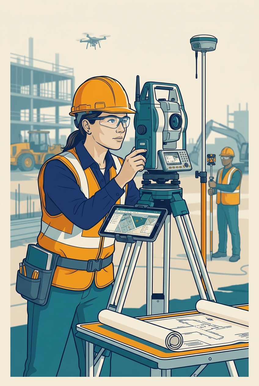
What. A surveyor measures the earth so that everything else can be built on it. The first person on a site and the one who decides where the building actually stands.
Tools. Total station, GNSS receiver, level, prism pole, field book, drone, GIS software, the plat and the deed.
A day. Recover the control points. Set up, back-sight, measure. Stake the building corners and the utility runs. Fly the drone for the topo. Reduce the data in the office; draw the map.
Pay. $45k entry to $90k experienced; licensed land surveyors beyond.
Path. Universal core → QGIS/ArcGIS → GNSS → total station → construction layout → photogrammetry → cartography. Credentials: FAA Part 107 (drone), NSPS Certified Survey Technician L1–2, Esri ArcGIS Pro.
Why it matters. Land price per square foot is what drives a city upward (Series C). The surveyor is the one who measures the square foot.
See it. Transit → total station → drone, Gallery G9, and the live GIS table.
 7GK29J
reading