
Gallery G9 · Technology & Design
Measure & Map
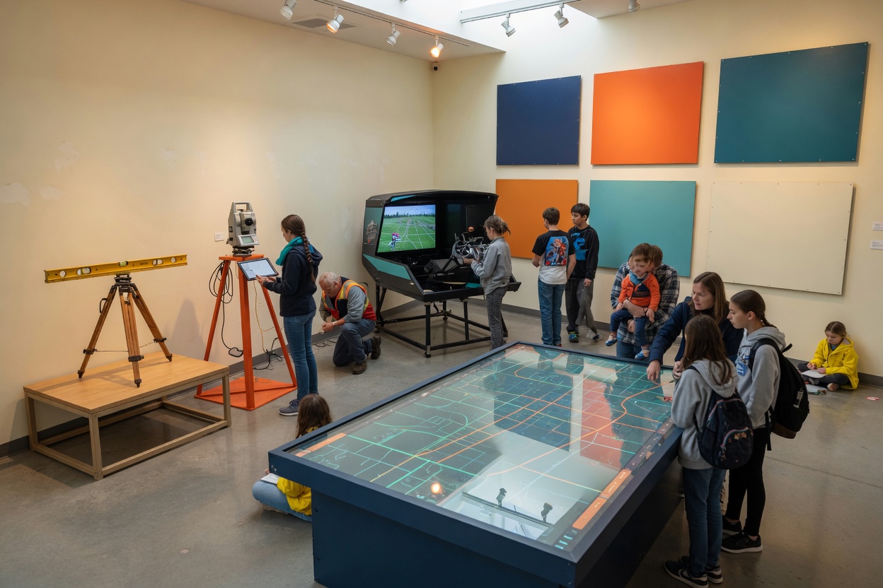
Nothing is built until it is measured. Surveyors, drafters, GIS analysts and drone pilots turn land into coordinates and ideas into drawings. Look through the transit, then the total station, then fly the drone simulator and see your map appear on the live GIS table.
Anchor objects & demos2

VTVSAE · 1831 to today
Transit to drone row
Transit, theodolite, total station, GNSS rover and drone in a line; look through each.

VTU99F · contemporary
Live GIS table
A projected map table showing the museum site, live.
On the walls · K · The Credentials25

portrait · HNTBVB
Adobe Certified Professional
Graphic & Digital Media

portrait · ADETBE
Autodesk Certified Professional
Drafting / CAD / BIM

portrait · QEXAUG
Autodesk Certified User
Drafting / CAD / BIM

portrait · F8D9HV
Cisco CCNA
IT Support / Networking

portrait · UJ5TSA
Cisco CCST
IT Support / Networking

portrait · Q826HM
CompTIA A+
IT Support / Networking

portrait · W7CEJE
CompTIA CySA+
Cybersecurity

portrait · UZ4HXV
CompTIA Data+
Data Science & Analytics

portrait · 2VA4QE
CompTIA ITF+
Web & Software Development

portrait · G8XCQS
CompTIA Linux+
Web & Software Development

portrait · AUQ4Y9
CompTIA Network+
IT Support / Networking

portrait · P8S9NN
CompTIA Security+
Cybersecurity

portrait · JQCW2V
CSWA
Drafting / CAD / BIM

portrait · 7ZKGTD
DAMA CDMP Associate
Data Management / Database Administration

portrait · CAE93M
Esri ArcGIS Pro
GIS / Surveying / Drone Operations

portrait · XAC3WN
FAA Part 107
GIS / Surveying / Drone Operations

portrait · EM2AGU
Google Data Analytics Cert
Data Science & Analytics

portrait · UQBTAB
IBM Data Science Professional
Data Science & Analytics

portrait · KS9QF6
ISC2 CC
Cybersecurity

portrait · AK7REX
Microsoft DP-300
Data Management / Database Administration

portrait · DC4MTQ
Microsoft PL-300 (Power BI)
Data Science & Analytics

portrait · HSBUHE
NSPS CST L1-2
GIS / Surveying / Drone Operations

portrait · S99KUY
Oracle DBA CA
Data Management / Database Administration

portrait · 9HYGJC
PCEP Python
Web & Software Development

portrait · EJ2Z56
PostgreSQL CE (EDB)
Data Management / Database Administration